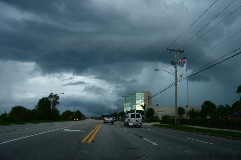
I snapped this through the windshield of my car while driving southward on U.S. 1, toward an intense storm that forecasters said could have sparked a tornado. This was storm No. 2 of the day.
 I have never seen natural ice in Florida. During the winter of 2007, when the temperature dipped to around 30 degrees, I thought I might get a chance.
Because it was the dry season, there were no puddles on the roadways or driveways. I figured that pouring a cup of water onto the pavement might create at least a half-natural sheet of ice. But it wasn't to be. The air was not cold enough.
So here we are in the heat of June, and the past few days ironically have provided the greatest chance for me to see ice since that winter. Small hail was reported Saturday during an intense thunderstorm in Suntree, an unincorporated portion of Brevard County near my workplace. Still, I was stuck inside, unable to venture out to take photos.
On Sunday, a few more thunderstorms moved through Central Florida. First, one hit the central part of the Space Coast where I live, then another prompted a tornado warning in the very southern reaches of the county. I made the trip down to try to catch some hail or maybe even a twister. But alas, that also was not to be.
Come to think about it, the last time I saw naturally occurring ice was in the middle of August. While Tropical Storm Fay raged in South Florida, I was driving in Maine when my car was pelted by dime-size hail. See a video here. I have yet to see a more intense storm in Florida than I have in Maine.
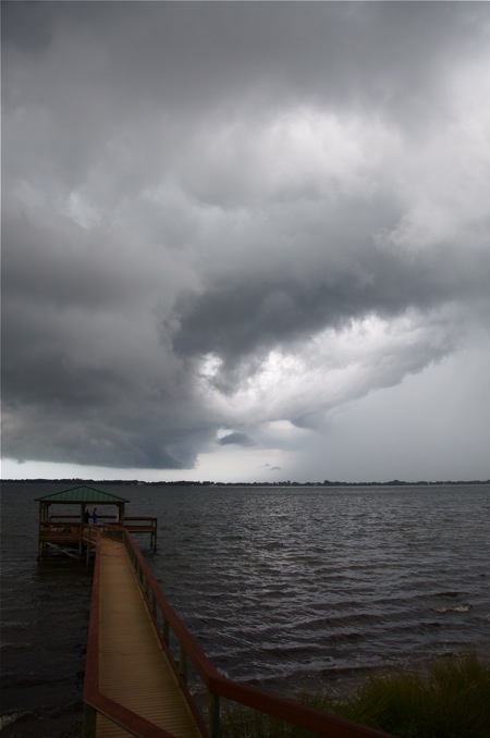
Above: Storm No. 1 of the day approaches my No. 1 weather-watching spot, Palm Shores Park.
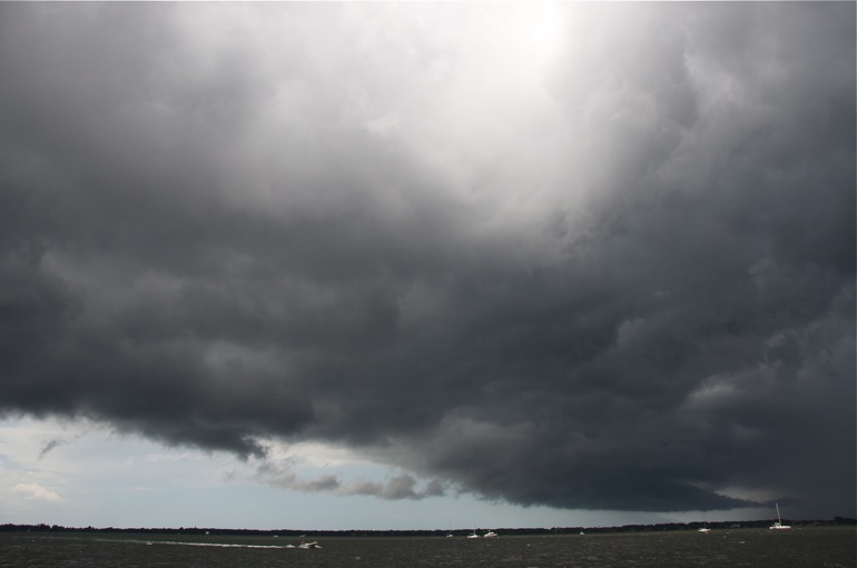
A boat speeds in off the Indian River, near the Pineda Causeway in Palm Shores, as a storm threatens to get people wet.
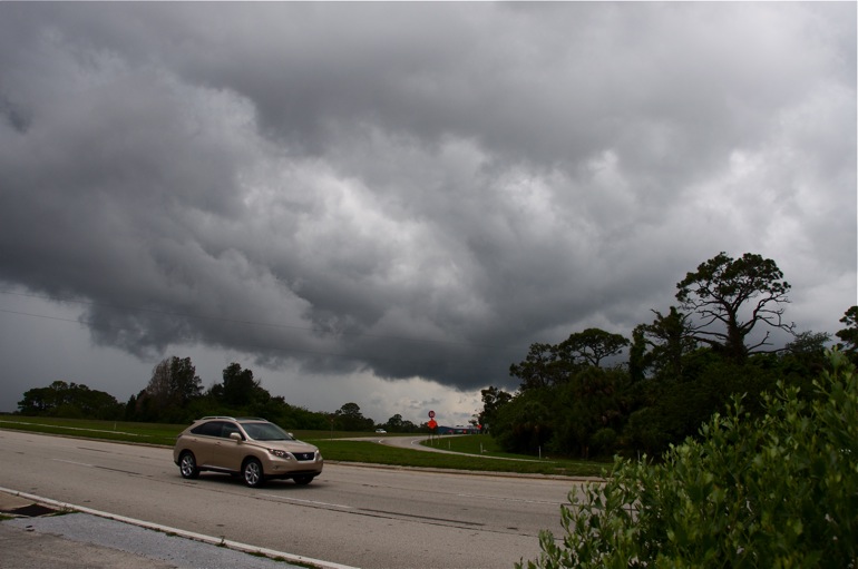
Storm No. 1 of the day moves over U.S. 1 north of Melbourne.
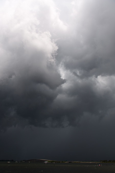 The sun shined through the clouds, creating a spotlight effect on portions of the river near the Pineda Causeway and on the bridge itself.

No comments:
Post a Comment